Jan 28, 2022
Bomb Cyclone Could Bury NYC in a Foot of Snow, or Mere Inches
, Bloomberg News

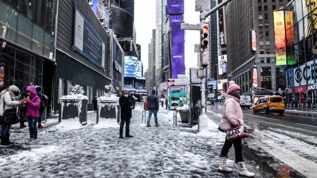
(Bloomberg) -- The winter storm set to batter the U.S. East Coast has an uncertain track that’s confounding meteorologists -- it could dump almost a foot of snow on New York City, or next to nothing.
“It’s been a tricky one to forecast, from New York up the coast,” Rob Carolan, owner of Hometown Forecast Services, said in a Friday interview. One of the challenges for meteorologists trying to chart the storm’s path is disagreement between two of the major computer models used to forecast weather, he said.
“Once in awhile these models don’t do a great job and we end up looking like idiots,” Carolan said. His current prediction is New York City will get 6 to 10 inches (15 to 25 centimeters) of snow. “If you’re buying a sled today, there’s a good chance you’ll be using it in Central Park tomorrow.”
Forecasting at any East Coast storm’s western edge is always difficult, with the current system being no exception because snowfall totals fall off rapidly. Philadelphia is forecast to get as much as 6 inches of snow, for instance, but that could change given the track of the system, said Marc Chenard, a senior branch forecaster at the U.S. Weather Prediction Center.
The entire area between Philadelphia and New York City is in the zone where snow totals could change markedly over just a few miles, he said.
The uncertainty among meteorologists Friday morning was reminiscent of a 2015 blizzard threat on New York City that turned out to be a dud, with forecasters warning of up to 3 feet of snow only to see less than 8 inches fall on Central Park.
©2022 Bloomberg L.P.


