Oct 8, 2019
Heavy snow targeting corn, wheat in Dakotas, canola in Canada
, Bloomberg News

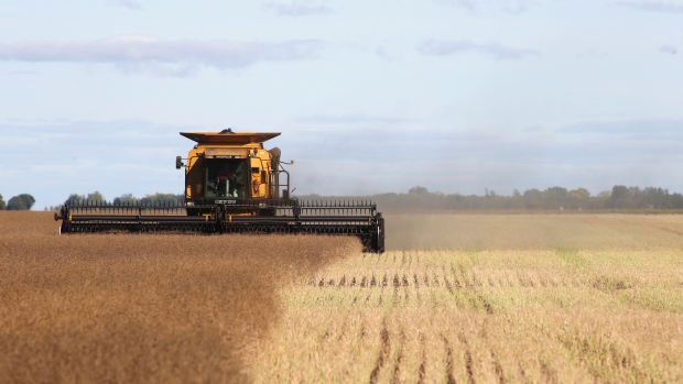
A large snowfall is set to sweep out of the Rocky Mountains later this week, bringing snow by the foot across the Dakotas, slowing wheat harvests and ending any chance for still-maturing corn crops to flourish.
A foot (30 centimeters) or more will fall from southwestern South Dakota across central North Dakota Thursday into Friday, said Don Keeney, a meteorologist with Maxar in Gaithersburg, Maryland. The storm will eventually push into southern Manitoba in Canada, where it could affect canola harvests.
“It will be a miserable day on Friday,” Keeney said. “A lot of the corn crop still hasn’t matured in the Dakotas so that is going to be the end of that.” Wheat harvests across the northern Plains and southern Prairies will also be affected, he said.
The storm follows a September squall that dropped as much as four feet of snow across northern Montana, spurring Governor Steve Bullock to declare an emergency for areas hit by the blizzard. Southern Canada saw close to a foot. That storm halted wheat, canola, durum and lentil harvesting, farmers said.
The latest storm will also spin up high winds in its wake, raising the fire threat across the western U.S., according to Paul Walker, a meteorologist with AccuWeather Inc. in State College, Pennsylvania. “All fronts are getting hit with this one” he said.
The U.S. National Weather Service has posted winter storm watches and warnings that stretch from Montana and Wyoming into the Dakotas, parts of Nebraska and Canada. The system is forecast to sweep east from late Tuesday into the weekend.


